🏙️Scale City🏙️
Koshizuka Laboratory EmailThe University of Tokyo
Concept
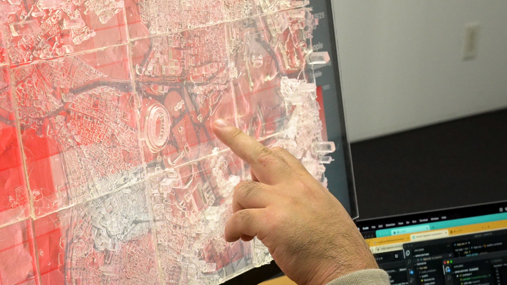
Scale City is an innovative ICT tool aimed at enhancing meaningful citizen engagement. Bridging the gap between digital and tangible realms, Scale City uses a 3D-printed transparent map to provide an intuitive interpretation of the 2D-displayed urban data, offering a deeper grasp of urban environments and promoting more accessible city data.
Implementation
The 3D-printed transparent map is crafted using data from the MLIT’s* Project PLATEAU, created through photolithography.
The digital map integrates open data on transportation modes like buses and trains through APIs and databases. Additionally, it incorporates commercially available human flow data for a comprehensive urban analysis.
*MLIT is Ministry of Land, Infrastructure, Transport and Tourism
How To Use
Scale City allows you to easily switch between display data with just a click of a button on the digital map application. Please try changing the combination of displayed data.